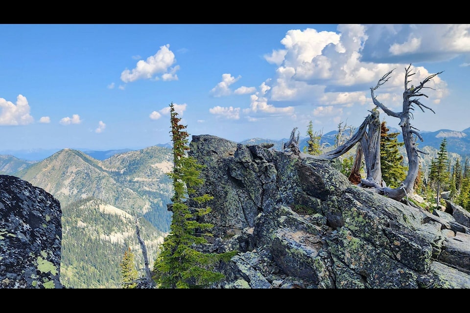
Brenda Haley, an avid hiker from Trail, shares her views from a Sunday hike on the Kootenay Pass.
These particular images were captured when Haley was hiking Lightning Strike (Ripple Ridge) to Monk Peak, right beside it.
Read more here: Ripple Ridge Recreation Association
See more here: #Hiking
Kootenay Pass
Known locally as “the Salmo–Creston,” the Kootenay Pass is located in the Selkirk Mountains.
The pass summit divides the drainage basin of the Pend d’Oreille River on the west — via tributaries Stagleap Creek, the South Salmo River and the Salmo River — from that of Kootenay River and Kootenay Lake to the east, via tributary Summit Creek.
The pass summit is located within Stagleap Provincial Park near Bridal Lake.
Kootenay Pass is one of the highest highway-served passes in Canada at 1,775 m (5,823 ft) that is open year-round, though winter storms lead to closures for avalanche control and debris clearing. Bow Summit on the Icefields Parkway in Banff National Park, Alberta, is higher at 2,088 m (6,850 ft). Highwood Pass in Kananaskis Country, Alberta, is even higher at 2,206 m (7,238 ft), but it is traversed by Highway 40, which closes from December 1 to June 15 every year.
newsroom@trailtimes.ca
Like us on Facebook and follow us on Twitter